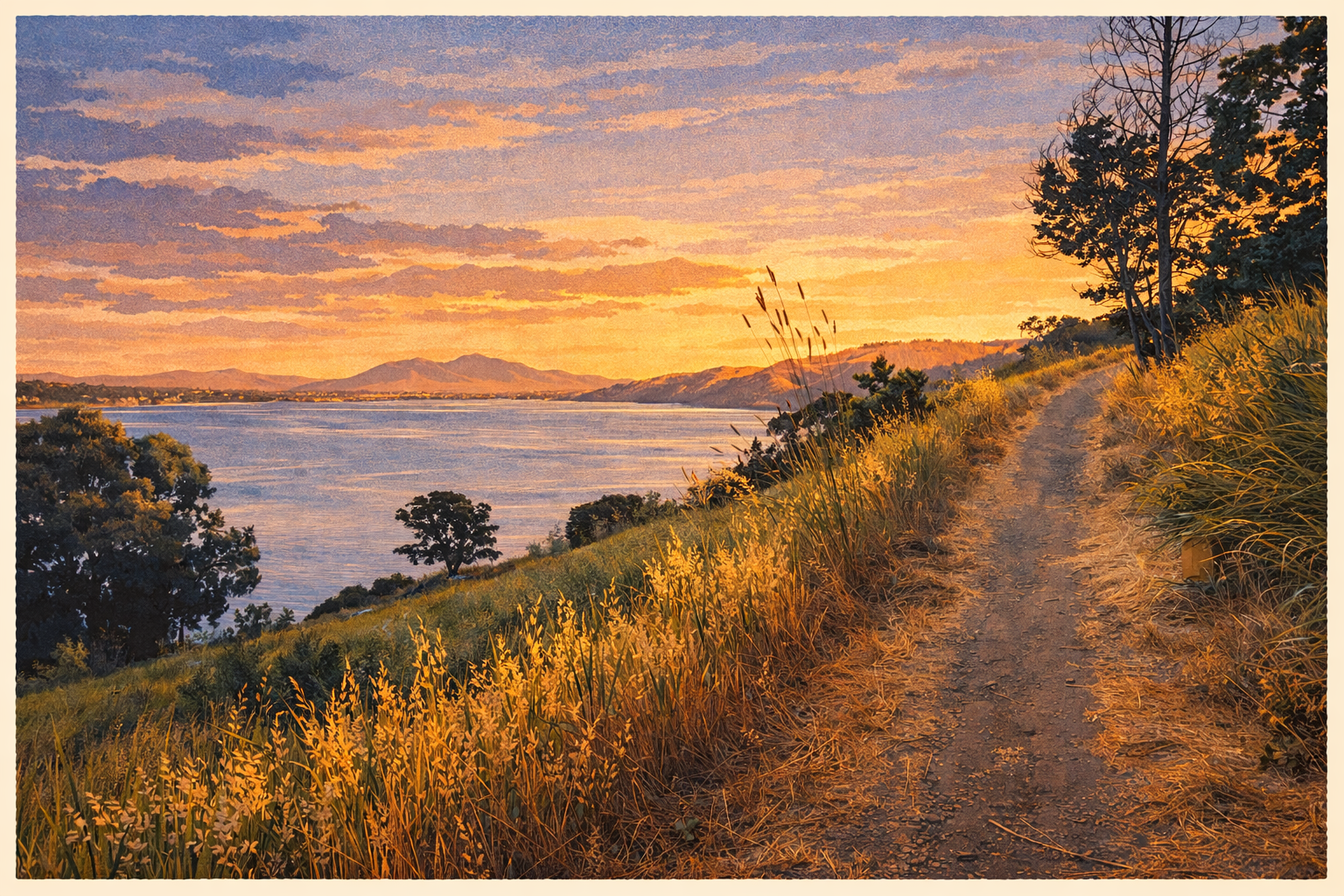
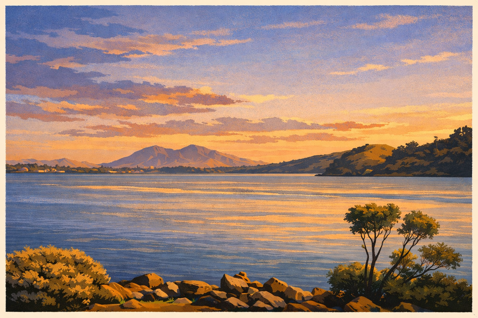
A 12-stop shoreline loop along the Carquinez Strait, beginning with marshes, gardens, and Dillon Point panoramas, then returning through Benicia's Indigenous, military, and waterfront history. Best with water, layers, and time to pause at the overlooks.
Benicia State Recreation Area sits on a narrow but surprisingly varied stretch of the Carquinez Strait shoreline. Over 3.2 miles, this walk moves through open overlooks, quieter groves, volunteer-tended garden space, fishing access, and the exposed sweep of Dillon Point. It feels natural and local at the same time, which is exactly why it works so well as an audio tour.
The narration is structured in two halves. On the outbound leg, the emphasis stays with the living landscape: tidal marsh, pollinator habitat, migratory birds, and the geography of the strait itself. Once you round Dillon Point and begin heading back, the story shifts into the human history of the shoreline, from Patwin homelands to Benicia's brief state-capital era, the nearby Arsenal, modern shipping traffic, and the later choice to preserve this edge of waterfront as public parkland.
It is still an easy walk, but it is more layered than a simple waterfront stroll. Bring water, expect some wind, and give yourself time to linger at the viewpoints. The route works well at any pace, especially if you want a quieter Benicia experience away from downtown.
Tour Stops
12 narrated stops along the waterfront loop
1
Main Trailhead Entry
The loop opens where neighborhood edge gives way to shoreline habitat. This stop sets up the walk as both an easy park route and a tour through one of the Bay's most dynamic transition zones.
2
Carquinez Strait Overlook
The first big panorama explains the geography of the strait itself: part estuary corridor, part shipping lane, and one of Northern California's essential waterways.
3
Picnic Area
A shaded interior grove that breaks up the open shoreline rhythm and hints at how recreation and habitat overlap throughout the park.
4
Botanical Garden
A closer look at volunteer-tended native planting, pollinator habitat, and the smaller ecological details that can get lost in the big-water views.
5
Bathrooms, Parking & Fishing Area
A practical shoreline hub that shows how the park is used day to day, especially by locals who return here to fish, reset, and watch the water.
6
Dillon Point
The visual peak of the route, where the strait widens and the full mix of water, wind, hills, and shoreline systems comes into view.
7
Marsh Loop Return
The turn for home also changes the narration, shifting from ecology and habitat into the layered human history of this shoreline.
8
Early California & State Capital
A reminder that Benicia briefly sat near the center of California's early political story, with shoreline access shaping why it mattered.
9
Indigenous Life Along the Strait
The walk reaches back deeper into Patwin homelands and the long environmental knowledge tied to marshes, creeks, and shoreline foodways.
10
Military & the Benicia Arsenal
This stop connects the quiet trail to a nearby nineteenth-century military depot that supplied the expanding American West.
11
Shipping & Industry
The strait beside the trail is still a working channel, and this stop frames the tension and coexistence between commerce, habitat, and public access.
12
From Working Land to State Park
The final history stop reflects on preservation and on why protected, walkable shoreline is such a rare asset around the Bay.
The Ecology
Ecology first, history on the way back
The Carquinez Strait is one of the Bay's most important transition zones. Fresh water from inland California narrows into this passage before entering San Francisco Bay, and that constant movement shapes mudflats, marsh edges, currents, and seasonal habitat. For walkers, it means a route where birds, wind, and tide often feel like the main event.
This tour leans into that rhythm on purpose. The first half helps you notice how shoreline habitat actually works here, from pollinator-friendly plantings and sheltered groves to the bigger systems of marsh ecology, migratory stopover, and open-water movement. The second half adds the human layer back in: Patwin presence, early California politics, military supply, working shipping, and eventual park preservation.
That structure makes the walk more satisfying than a simple list of landmarks. You experience the park first as a living place and only then as a historical one, which keeps the route calm, coherent, and easy to follow at walking pace.
Practical Info
Getting there & trail conditions
The loop starts from the main Benicia State Recreation Area parking area at the west end of Benicia. Plan on a roughly 70-minute walk if you move steadily, or longer if you stop at most overlooks. The route is about 3.2 miles and works best as a full loop rather than a partial out-and-back.
The surface is mostly level gravel or packed path, with a few uneven spots and exposed sections where wind can be strong. Restrooms are available on the route, and the fishing-area stop is a good practical pause before or after Dillon Point. Bring water, sun protection, and a layer for the breeze coming off the strait.
Bird activity is often best around lower tides and in migration seasons. Dogs should remain leashed, and staying on the trail matters here because the park protects sensitive habitat along the marsh edge.
FAQ
Frequently asked questions
Is there a fee to enter Benicia State Recreation Area?
Parking and access details can change, so check current California State Parks guidance before you go. This tour is written as a park-and-walk loop starting from the main Benicia State Recreation Area lot.
Are dogs allowed on the trail?
Yes, dogs are generally allowed on leash in Benicia State Recreation Area. Keep them on the trail and under control, since much of the route passes sensitive shoreline habitat and popular fishing areas.
Is this trail good for birdwatching?
Yes. The marsh edges and shoreline are strong for birdwatching, especially in migration seasons and around lower tides. Bring binoculars if you have them, and expect the first half of the tour to focus heavily on habitat and wildlife context.
What's Dillon Point?
Dillon Point is the scenic high point of the loop, with the broadest views across the Carquinez Strait. It is the turning point of this tour as well: the route heads back from there and the narration shifts from ecology into history.
How difficult is the trail?
The route is easy to moderate. It is mostly level and manageable for most walkers, but the full loop is still 3.2 miles and some sections are exposed to sun and wind. Packed gravel and uneven shoreline edges are more of a factor than steep climbs.
When is the best time of year to do this walk?
Spring is especially good for blooms, bird movement, and comfortable weather, but the walk is rewarding year-round. Summer can be bright and exposed, while winter often brings quieter trails, changing light, and strong waterfowl activity.
Is the trail stroller-friendly?
Parts of the route are stroller-friendly on dry days, especially the flatter gravel segments, but the full loop includes enough uneven or exposed sections that an all-terrain stroller is the safer assumption.