๐Ÿš— Driving Tour ยท Benicia, CA

Downtown Benicia
Driving Tour

This 11-stop driving loop links Benicia's brief state-capital moment, preserved First Street, the Carquinez Strait waterfront, and the former Arsenal district into one compact route.

๐Ÿ• ~35 min ๐Ÿ“ 3.2 mi ๐Ÿ“ 11 stops ๐Ÿš— Driving ๐Ÿ“ต Works offline โœ… Free
Download City Tour on the App Store See the Stops
Downtown Benicia, California

About This Tour

State capital, Army depot, and waterfront town in one short drive

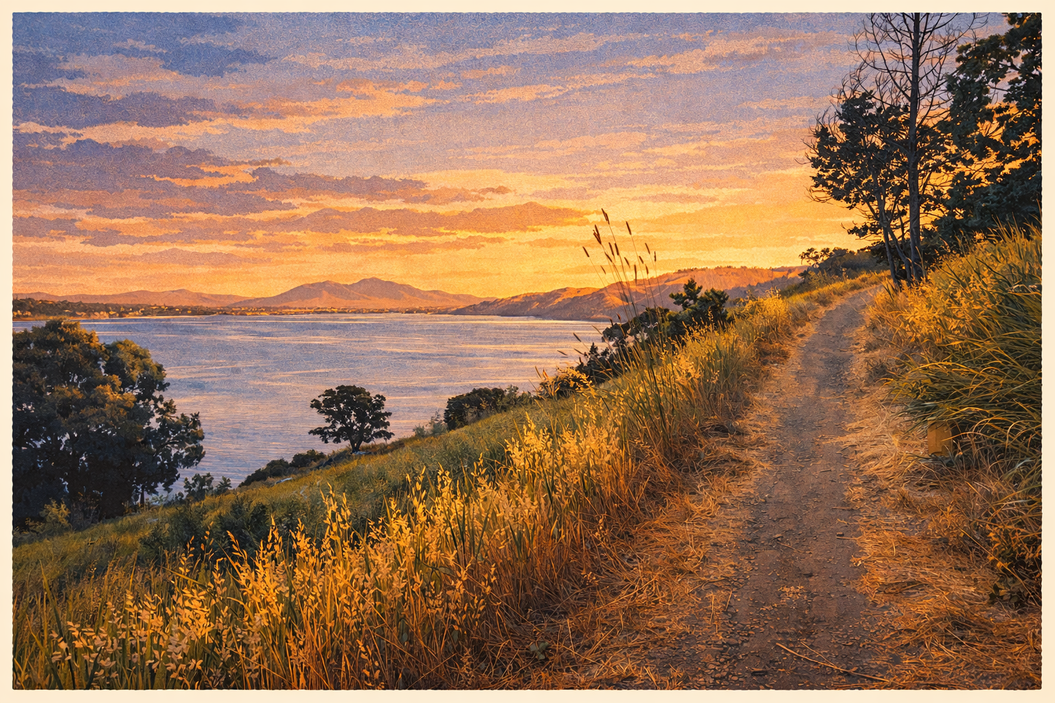
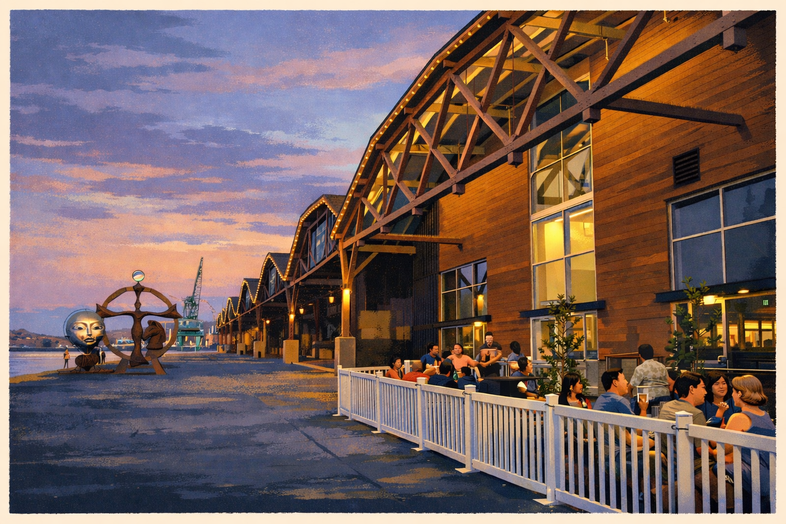
Benicia is one of the rare California towns where political history, military history, and maritime geography all remain visible within a few minutes of one another. The route begins above downtown at City Park, drops into First Street and the old Capitol district, follows the waterfront, and then loops through the Arsenal landmarks before ending back near the strait.

That sequence matters because Benicia's story is not only about being California's third state capital for a brief period in 1853 and 1854. It is also about the U.S. Army Arsenal that shaped the city for more than a century, and about the Carquinez Strait corridor that made this shoreline valuable to trade, transportation, and regional movement long before bridges simplified the crossing.

The GPS narration triggers automatically as you approach each stop, so the tour works as an audio-first overview with optional parked pauses at the capitol, waterfront, and Arsenal sites.


Tour Stops

11 narrated stops through Benicia


The History

Early California politics, Arsenal logistics, and a preserved main street

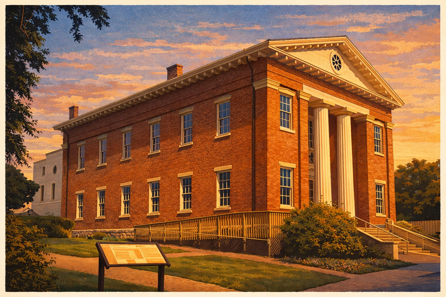
Benicia was founded in 1847 and was briefly California's third state capital in 1853 and 1854. That political chapter was short, but it left behind one of the state's most tangible early-government landmarks in the old capitol building.

The longer-running institution was the Benicia Arsenal, established in the early 1850s and active for well over a century as a major Army depot on the West Coast. That military role shaped the city's western edge, architecture, and economic identity long after the capital had moved on.

Underlying both stories is the Carquinez Strait. Benicia's waterfront location made it useful to trade, ferry traffic, and regional movement, and it helps explain why this relatively small town carried so much institutional weight.


Practical Info

Getting there & visiting the Capitol

The route begins at Benicia City Park and loops through downtown, the waterfront, and the Arsenal district before finishing near the strait. Street parking and small public lots are available at several points along the route, with especially easy optional stops at the capitol, First Street, and the waterfront.

Benicia works well as a slower half-day outing. You can drive the full loop in about 35 minutes or stretch it longer with a capitol visit, lunch on First Street, or a stop at the waterfront or local museum spaces.


FAQ

Frequently asked questions

Is the Benicia State Capitol open to visitors?

Yes. The Benicia State Capitol State Historic Park is operated by California State Parks and is free to enter. It is typically open Wednesday through Sunday. Check the California State Parks website for current hours before visiting, as seasonal schedules vary.

Was Benicia really California's capital?

Yes. Benicia served as California's state capital from February 1853 to February 1854 โ€” about 13 months. It was California's third capital, following San Jose and Vallejo. The Legislature moved to Sacramento in 1854, where it has remained ever since.

What makes Benicia worth visiting?

Benicia offers a rare combination: a genuinely preserved 19th-century downtown, a significant piece of California political history in the Capitol building, excellent waterfront views, and a strong local food and arts scene. It's one of the best day trips from the Bay Area that most people haven't made yet.

How far is Benicia from San Francisco?

Benicia is approximately 30 miles northeast of San Francisco, about a 45-minute drive without traffic. It's also accessible via the Vallejo Ferry, which connects to San Francisco, with Benicia a short drive from the Vallejo ferry terminal.

Is there good food in downtown Benicia?

Yes โ€” First Street has a disproportionately strong restaurant scene for a city its size. There are wine bars, seafood, farm-to-table spots, and casual cafes all within a few blocks. It's well worth scheduling a meal around your visit.

Can I combine Benicia with other tours?

Definitely. Benicia pairs naturally with the Benicia State Recreation Area walking tour, which starts just outside of downtown and follows the Carquinez Strait waterfront. Together they make a full day. Vallejo and Mare Island are also nearby โ€” about 10 miles โ€” for a longer regional itinerary.

Is downtown Benicia walkable?

Very. First Street is compact and flat, and the Capitol is a short walk from the waterfront. The City Tour app also includes a dedicated walking option โ€” this page covers the driving tour, which is good if you want a broader overview. Both are free in the app.


More Tours Nearby

Continue exploring

Benicia State Recreation Area
๐Ÿšถ Walking ยท Benicia

Benicia State Recreation Area

A 12-stop shoreline loop through marshes, overlooks, Dillon Point, and the deeper history of Benicia's working waterfront.

๐Ÿ• ~70 min๐Ÿ“ 3.2 mi๐Ÿ“ 12 stops
Mare Island
๐Ÿš— Driving ยท Vallejo

Mare Island Driving Tour

142 years of U.S. Navy history. Civil War cemetery, dry docks, St. Peter's Chapel, and more.

๐Ÿ• ~30 min๐Ÿ“ 3.0 mi๐Ÿ“ 8 stops

Free to download. Free to explore.

No account, no ads, no subscription. Just open the app and start the tour.

Download City Tour on the App Store