🚶 Walking Tour · Crockett, CA
Crockett
Downtown Walk
A free GPS-triggered audio walk through a compact Bay Area company town shaped by hills, the Carquinez Strait, rail and bridge corridors, and the C&H Sugar refinery.
A free GPS-triggered audio walk through a compact Bay Area company town shaped by hills, the Carquinez Strait, rail and bridge corridors, and the C&H Sugar refinery.
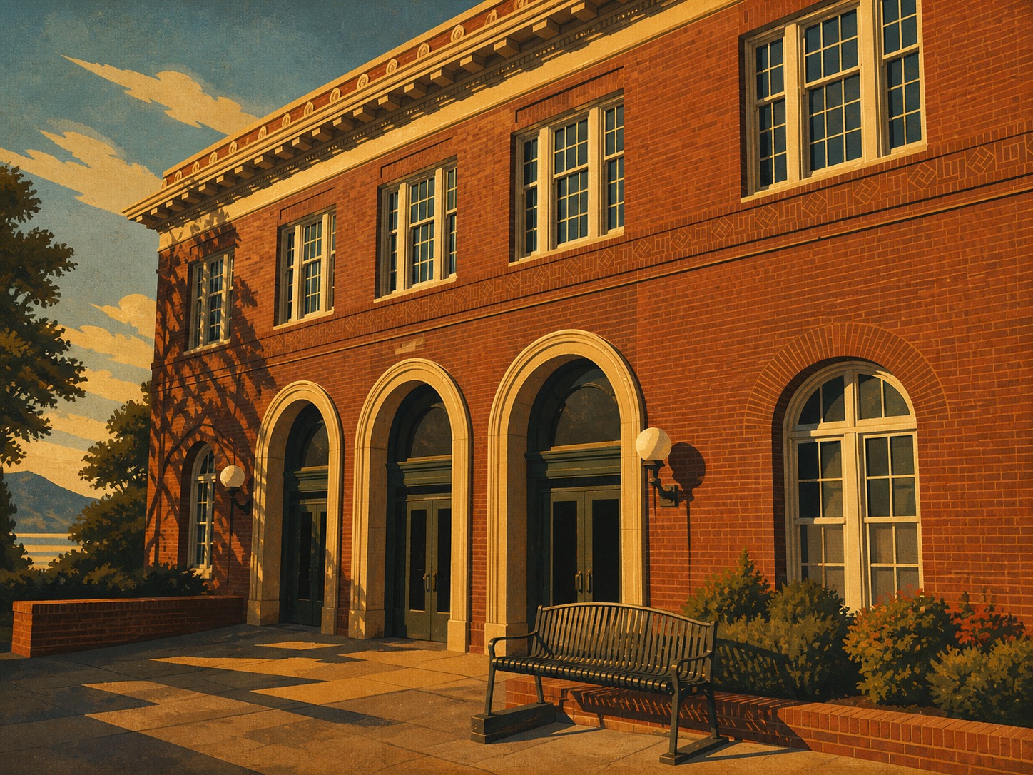
Crockett is best understood on foot. The town sits in a tight space where hillside neighborhoods, downtown storefronts, rail corridors, industrial waterfront, and the Carquinez Strait all press close together. That compressed geography is the story of the walk.
The route starts near the Crockett Museum and Pomona Street, then moves through everyday community landmarks before shifting toward the refinery landscape and the bridge views that explain Crockett's regional role. Along the way, the tour connects worker life, immigrant foodways, local commerce, and the infrastructure that made this small town visible across the Bay Area.
The main loop is mostly level and sidewalk-based. The Tankhouse Hill stop is an optional uphill extension for visitors who want a broader view of the town pattern from above.
Orientation stop introducing Crockett's geography, settlement pattern, and industrial identity.
Main-street stop focused on downtown scale, storefront history, and the everyday civic life that supported workers and residents.
Foodways stop interpreting immigrant communities and long-lived local business culture across generations.
Public interpretation point for the refinery landscape, labor history, and the company-town patterns that shaped Crockett.
Viewpoint toward the Carquinez Strait and bridge system connecting Crockett to the wider region.
Optional uphill capstone tying together topography, downtown, industry, and the strait in a single landscape view.
The downtown core is a mostly level sidewalk loop. The optional Tankhouse Hill extension is steeper and is not ADA-friendly. Use daylight hours, stay on public sidewalks, avoid industrial entrances and rail areas, and expect stronger wind near strait-facing viewpoints.
The tour is free in the City Tour app. Download the tour before you begin so the audio and route remain available while you walk.

A shorter one-way walk from Dillon Point north through the recreation area, with broad Carquinez Strait views.
A 12-stop shoreline loop through marshes, overlooks, garden habitat, Dillon Point, and Benicia waterfront history.
No account, no ads, no subscription. Just open the app and start the tour.